
See Your Property From Above With Precision
Drone Mapping in Brighton for site planning, project documentation, and accurate terrain analysis before construction begins
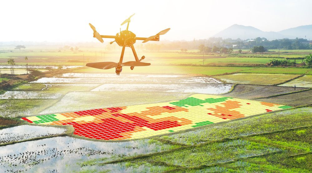
Rocky Ground LLC offers drone mapping services that capture high-resolution aerial imagery used for site planning, documentation, and development preparation. You need this service when your project requires accurate visual information about terrain contours, vegetation coverage, drainage patterns, or existing structures before grading, building, or installing infrastructure. The drones fly over your property and record overlapping images that software stitches together into detailed orthomosaic maps and three-dimensional models, giving you a precise view of current site conditions.
The mapping process begins with a pre-flight site review to identify features that need documentation and any airspace restrictions. The drone follows a programmed flight path that ensures complete coverage at the resolution you require. After the flight, the imagery is processed into georeferenced maps that show measurements, elevations, and spatial relationships. Contractors and developers use this data to calculate cut and fill volumes, plan drainage systems, mark utility corridors, and monitor progress as construction advances.
If you are planning a commercial development, residential subdivision, or infrastructure project in Brighton and need current site data, contact Rocky Ground LLC to arrange a drone mapping flight.
How Aerial Mapping Supports Planning and Documentation
You receive high-resolution maps and models that provide measurements down to the centimeter, which allows engineers and architects to design with confidence. The drone captures imagery from directly overhead, eliminating the perspective distortion that occurs with ground-level photography. You can view topographic data, identify low spots where water may collect, and measure distances between property lines and proposed structures without walking the entire site with survey equipment.
After processing, you will have files that import into CAD software, GIS platforms, and project management tools. Rocky Ground LLC delivers orthomosaic images that show your property as a flat, scaled map, along with elevation models that reveal slope and terrain variation. You can share this data with permitting agencies, lenders, and stakeholders who need to understand site conditions before approving plans or releasing funds.
The service does not include ground survey markers, legal boundary determinations, or subsurface utility location. It provides accurate visual and elevation data derived from aerial imagery. Weather conditions, vegetation density, and site access all affect data quality, so flights are scheduled when skies are clear and lighting conditions support sharp image capture.
Common Questions About Drone Mapping Services
Rocky Ground LLC works with developers, general contractors, and land managers in Brighton who need reliable aerial data to support project planning and reduce site assessment time.
What file formats do you provide after mapping?
You receive georeferenced orthomosaic images in GeoTIFF or JPEG format, along with elevation models in common GIS formats that integrate with AutoCAD, ArcGIS, and other design platforms.
How accurate is drone mapping compared to traditional surveys?
Drone mapping typically provides accuracy within a few centimeters horizontally and vertically, which is sufficient for site planning, volume calculations, and progress monitoring, though it does not replace boundary surveys required for legal filings.
When should you schedule a mapping flight for a construction project?
Flights are most valuable before site disturbance begins, after major grading or excavation phases, and at project milestones when you need to document progress or verify contractor work against plans.
Why is aerial mapping faster than ground-based methods?
Drones cover large properties in minutes, capturing thousands of images that software processes into detailed maps, eliminating the need for crews to walk transects with GPS receivers and total stations.
What weather conditions affect mapping quality?
High winds, heavy cloud cover, and precipitation reduce image sharpness and positional accuracy, so flights in Brighton are scheduled on calm, clear days when lighting is consistent across the site.
If your project timeline depends on accurate site data or you need to document conditions for insurance or regulatory compliance, reach out to Rocky Ground LLC to schedule a drone mapping session over your Brighton property.