
Identify Hidden Issues Before They Become Costly
Thermal Drone Services in Brighton for detecting heat loss, moisture intrusion, and equipment failure before visible damage appears
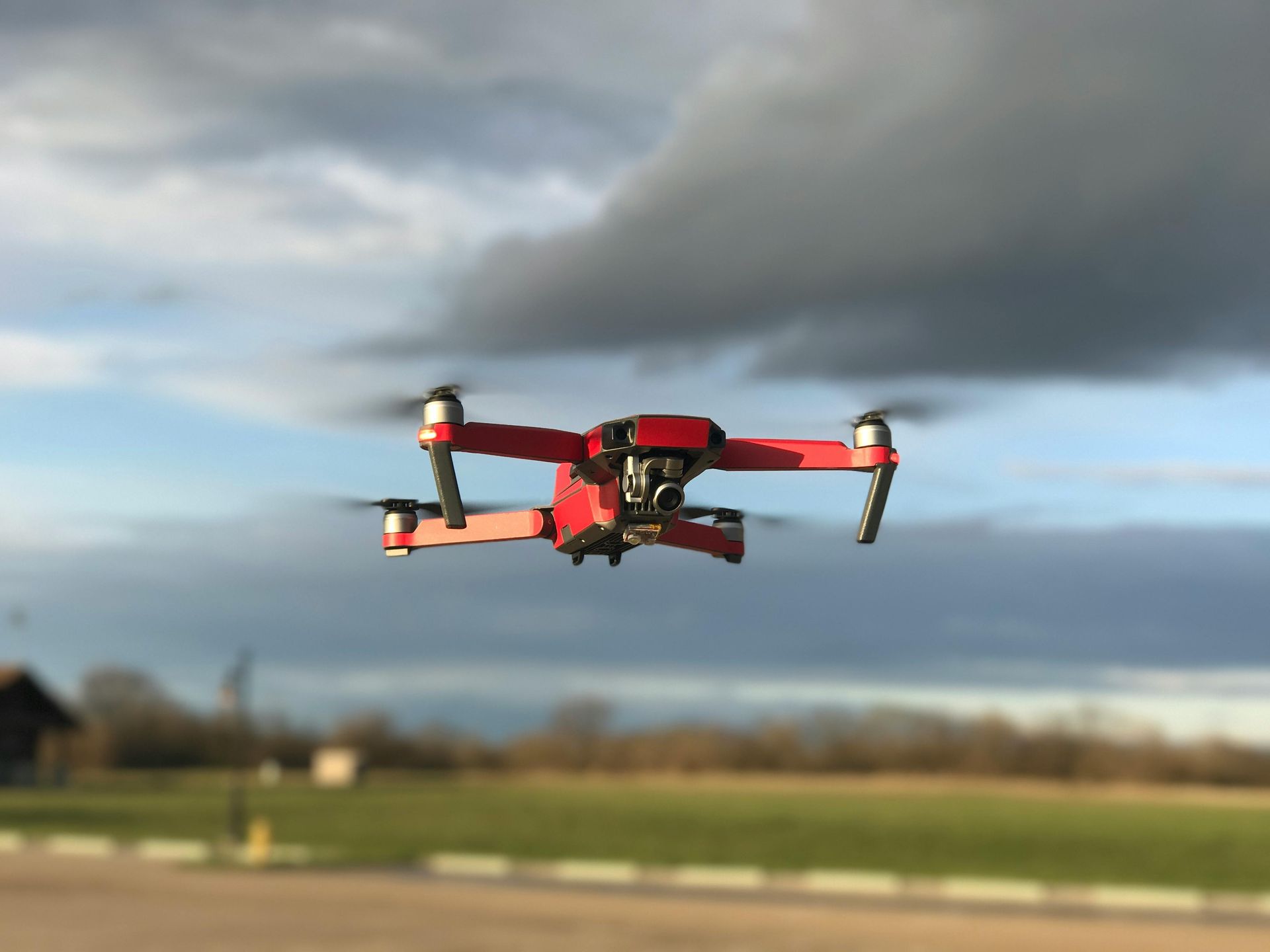
Rocky Ground LLC provides thermal drone services that use aerial thermal imaging to detect heat patterns across structures, land areas, and equipment. You rely on this service when standard visual inspections cannot reveal the full picture of what is happening beneath roofing materials, inside wall cavities, or across large commercial properties. The drones carry thermal sensors that capture temperature variations invisible to the naked eye, allowing you to see where heat escapes from a building envelope, where moisture has infiltrated insulation, or where electrical panels and mechanical equipment run hotter than normal.
The process involves a licensed pilot flying a thermal imaging drone over your property during conditions that allow clear thermal contrast, typically early morning or evening. The drone records temperature data across rooflines, walls, HVAC units, solar arrays, and land features. After the flight, you receive thermal maps showing color-coded heat signatures that reveal problem areas. Cold spots on a roof may indicate missing insulation, while hot spots near electrical boxes can signal overloaded circuits. Property owners and contractors use this data to prioritize repairs, validate warranty claims, and document conditions before and after construction work.
If you manage a commercial building in Brighton or own property where inspection access is difficult, contact Rocky Ground LLC to schedule a thermal drone assessment.
What Thermal Imaging Reveals That Standard Inspections Miss
You receive a detailed thermal report that identifies temperature anomalies across your property. The drone captures data from angles and distances that ladders and scaffolding cannot safely reach, which means large warehouse roofs, multi-story apartment buildings, and expansive solar installations can be reviewed in a single flight session. The thermal camera detects radiant heat differences as small as a fraction of a degree, which allows early detection of failing equipment, compromised building materials, and energy inefficiencies that increase operating costs.
After the flight, you will see exactly where your building is losing conditioned air, where roof membranes have separated from decking, and where water has saturated insulation layers. Rocky Ground LLC delivers georeferenced thermal imagery that can be integrated with site plans and used by engineers, insurers, and construction teams. You avoid the cost of removing finishes or dismantling systems to locate problems, and you gain documentation that supports insurance claims or dispute resolution.
The service does not include structural analysis, moisture testing with physical probes, or electrical diagnostics. It provides thermal data that guides where further investigation is needed. Weather conditions, surface materials, and time of day all affect thermal readings, so flights are scheduled when conditions support accurate data collection.
Questions Property Owners Ask About Thermal Drone Services
Rocky Ground LLC works with property managers, facility directors, and homeowners throughout Brighton who need reliable thermal data without disrupting operations or risking personnel safety during inspections.
What types of issues does thermal imaging detect?
You can identify heat loss through building envelopes, moisture intrusion under roofing, overheating electrical components, and malfunctioning HVAC equipment based on temperature differences that appear in the thermal data.
How long does a thermal drone flight take?
Most residential properties require fifteen to thirty minutes of flight time, while larger commercial sites may take an hour or more depending on building size and complexity.
When is the best time to schedule a thermal inspection?
Early morning or late evening flights provide the clearest thermal contrast because outdoor temperatures differ most from conditioned indoor spaces, making heat loss and insulation gaps more visible.
Why use a drone instead of handheld thermal cameras?
Drones cover large areas quickly, access steep or tall structures safely, and provide consistent overhead perspectives that reveal patterns across entire rooflines or solar arrays in a single data set.
What deliverables do you receive after the flight?
You receive thermal imagery with temperature scales, annotated problem areas, and a summary report that highlights findings and recommends where further evaluation or repair may be needed.
If you need to document building conditions for insurance purposes, verify contractor work, or locate hidden issues before they escalate, reach out to Rocky Ground LLC to arrange a thermal drone flight over your Brighton property.